Gran Canaria
A miniature continent spanning 50 kilometres in diameter, Gran Canaria compresses northern banana plantations, peaks reaching 1,949 metres, troglodyte villages and Atlantic dunes.
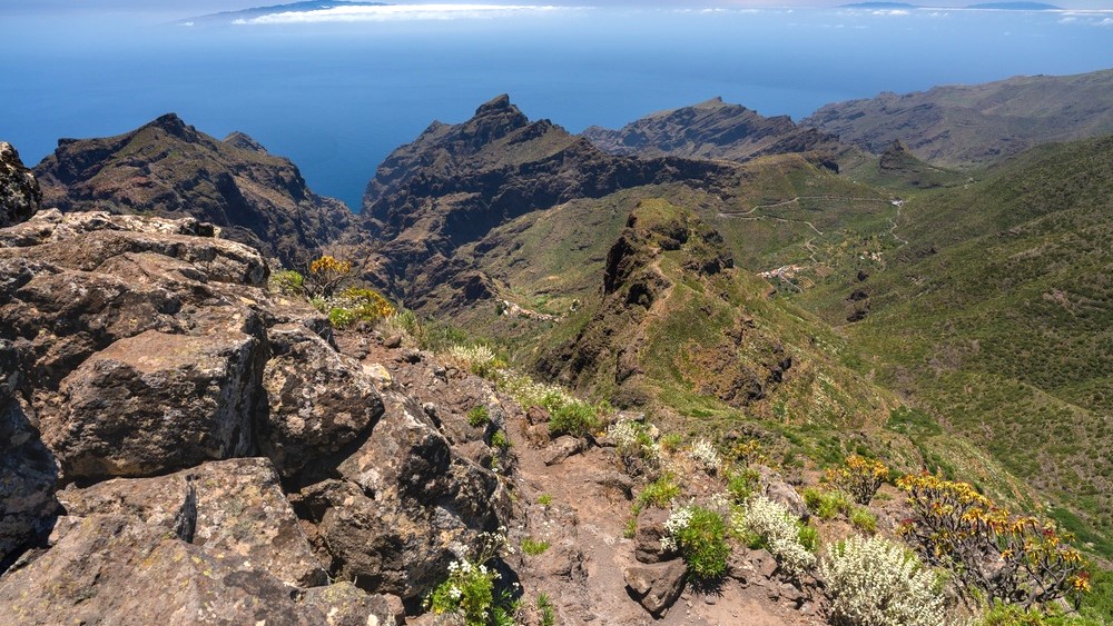
Gran Canaria fits within a circle of 50 kilometres in diameter, yet our team rarely accomplishes its discovery in fewer than five days. The reason lies in its structure: a central volcanic cone eroded into deep ravines, the barrancos, that descend in a star pattern towards the sea. In an hour's drive from Las Palmas, you transition from the humid banana plantations of the north to the pine forests of Tamadaba at altitude, then to the desert landscapes of the south around Mogán. This geographical compression explains why islanders speak of a miniature continent—a formulation we adopt without irony.
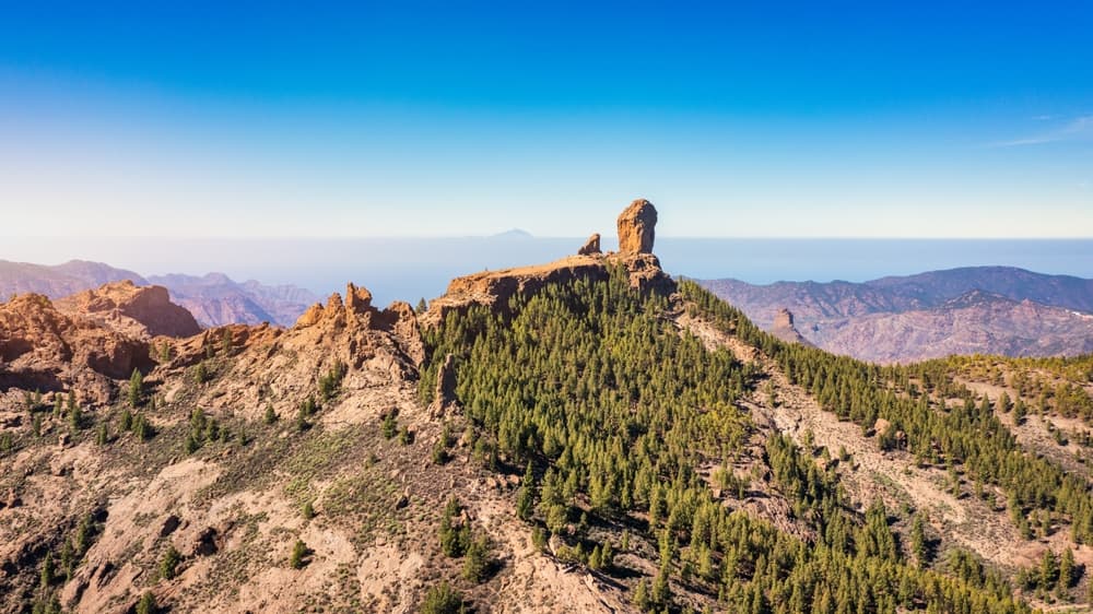
The centre is dominated by two basalt monoliths, Roque Nublo (1,813 m) and Roque Bentayga (1,412 m), which served as places of worship for the Canarians before the Castilian conquest of 1483. These Guanches, a Berber people who arrived around the first millennium before our era, left inhabited caves and fortified granaries visible at the Cenobio de Valerón near Santa María de Guía and at the Maipés necropolis in Agaete. The current island culture bears traces of this substrate: the silbo, a whistled language still practised by a few shepherds on La Gomera, has a historical equivalent here, and Canarian wrestling is still practised in the sand arenas of villages.
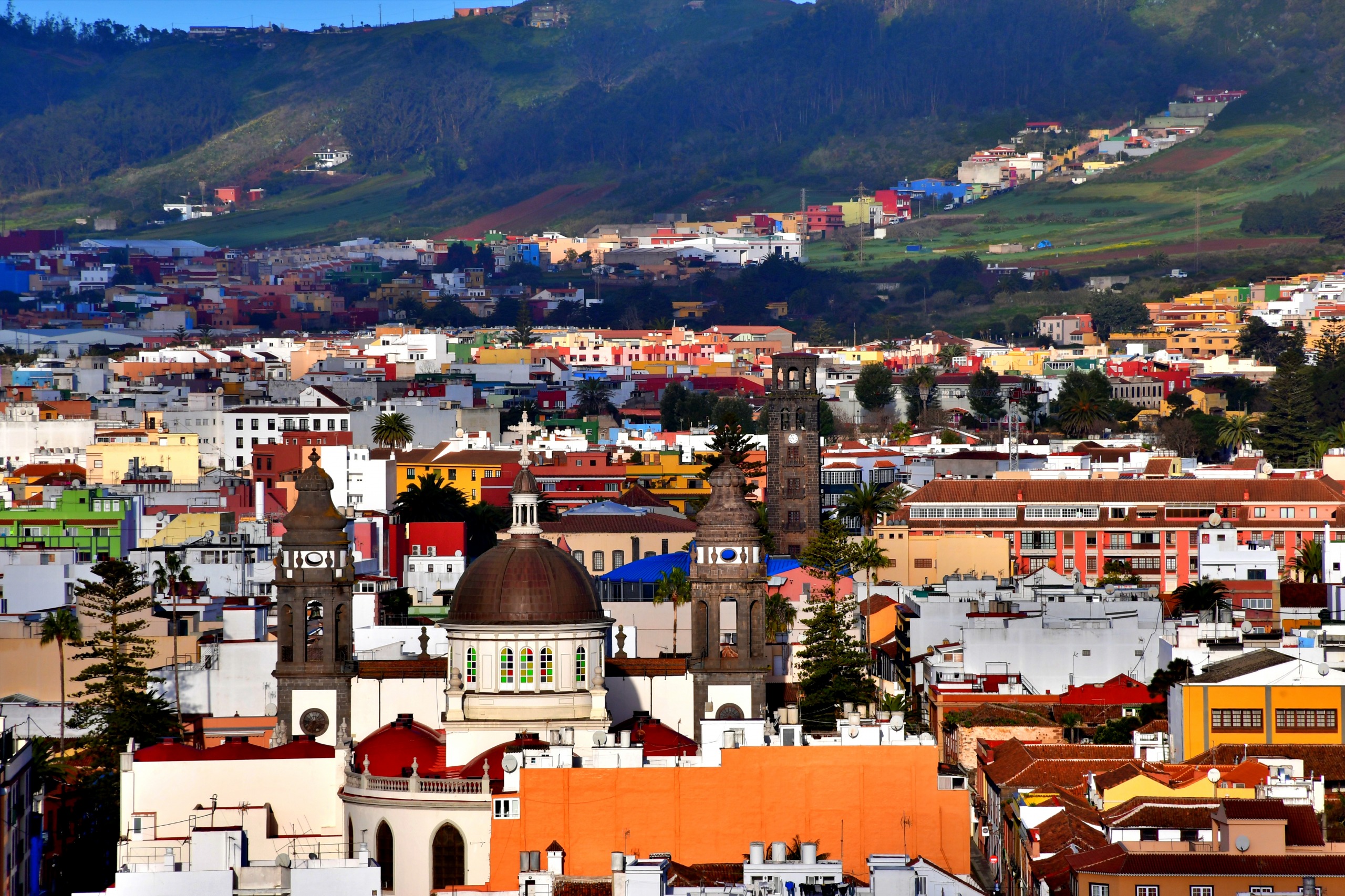
Las Palmas, a capital city of 380,000 inhabitants, deserves a full day. The Vegueta neighbourhood, founded in 1478, lines its homes with patios around the Santa Ana cathedral and the Canary Museum, which houses the largest collection of Guanche skulls. A ten-minute walk away, the urban Las Canteras beach unrolls three kilometres of sand protected by a rocky bar, La Barra, which calms the Atlantic swell. You can swim year-round, with water temperatures ranging from 19°C in February to 23°C in September. In the evening, we readily direct our travellers to the tapas bars on Mendizábal Street or the terraces around Espíritu Santo Square.
The interior transforms everything. Tejeda, ranked among Spain's most beautiful villages, sits at 1,050 metres altitude in the heart of a caldera measuring 40 kilometres in circumference. Artenara, at 1,270 metres, preserves a church and dwellings carved into volcanic tuff. Between the two, the GC-210 road winds for 25 kilometres above vast voids, with passages dropping sheer for 800 metres. It is in these villages that bienmesabe, an almond dessert, is prepared, and where queso de flor, cheese curdled with thistle flowers, from Guía is sold—a production protected by a designation of origin.
The south responds to different logic. Maspalomas and its 400-hectare dunes, classified as a nature reserve, Puerto de Mogán and its restored harbour, Puerto Rico and its developed coves concentrate the bulk of European beach tourism since the 1960s. We do not avoid this coast; it suits families and travellers seeking guaranteed sunshine, but we systematically propose escapes to Fataga, Temisas or the wild coast of Veneguera to rebalance the stay. The island's economy rests 80% on this tourism, supplemented by northern banana plantations and the intensive cultivation of tomatoes for export.
Must-see
Roque Nublo at sunrise. A 1.5-hour round-trip hike from the La Goleta car park to reach the foot of the basalt monolith at 1,813 metres. In clear weather, the cone of Teide on Tenerife emerges from the sea of clouds to the west.
Vegueta and the Canary Museum in Las Palmas. The neighbourhood founded in 1478 can be explored on foot in half a day. The museum houses Guanche mummies and skulls from excavations at Guayadeque and gives you an insight into what the island was like before 1483.
Caldera de Tejeda from Artenara. From the Atalaya viewpoint, the caldera opens up over 40 kilometres in circumference with Roque Nublo and Roque Bentayga in sight. The cave-houses of the village can still be visited with their inhabitants.
Maspalomas dunes out of season. 404 hectares of mobile sand between the island's tip and La Charca lagoon. In January-February, the low-angle light and reduced visitor numbers make the 3 km crossing on foot bearable even at midday.
Barranco de Guayadeque. A 15-kilometre ravine between Ingenio and Cuatro Puertas peak, dotted with still-occupied troglodyte houses. Restaurants carved into the rock serve ropa vieja and puchero canario at modest prices.
When to visit
Gran Canaria can be visited year-round thanks to the Atlantic's regulatory effect, but conditions vary greatly between slopes. On the south coast (Maspalomas, Mogán), temperatures range from 18°C in January to 26°C in August, with less than 100 mm of annual rainfall. On the north coast and in Las Palmas, expect 2 to 4°C cooler and skies often veiled by the panza de burro, a low cloud layer frequent from April to September. At altitude, in Tejeda or at Pico de las Nieves (1,949 m), frost can occur at night in January-February, and it snows once or twice per winter.
Our preferred periods are March-May and September-November: temperatures of 22 to 25°C, water at 21°C, little rain and moderate visitor numbers. We advise against the last week of February and the first week of March (Las Palmas carnival, hotels fully booked) as well as European school holidays at Christmas and Easter. July-August remain feasible, but the calima episode, a sandy wind from the Sahara, can push temperatures to 38°C for two to four consecutive days.
Practical advice
We recommend five to seven days on Gran Canaria to articulate three zones: Las Palmas and the north coast (1-2 days), the mountainous centre with a night in Tejeda or Cruz de Tejeda (2 days), and the south-west coast between Mogán and Maspalomas (2-3 days). Gran Canaria airport, 25 kilometres south of Las Palmas, is served daily from most European capitals. A rental car is essential once you leave the coast, as public transport does not adequately cover the interior.
The island logically combines with Tenerife (1 hour 15 minutes by fast ferry from Agaete to Santa Cruz) for those who want to compare two central islands, or with Fuerteventura (2 hours by ferry from Las Palmas) to add a more desert and beach dimension. For a first Canaries visit, we often propose Gran Canaria alone for seven days, allowing time for mountain hikes and unscheduled days. It suits families, intermediate-level hikers (marked trails of the Caminos Reales network) and travellers who appreciate combining city, mountain and sea without long transfers. Comfort level: charming rural hotels in the centre, paradores and boutique hotels in Las Palmas, full resorts in the south.