La Gomera and La Palma
Two western islands for hikers and contemplatives: laurel forest of Garajonay, Caldera de Taburiente, protected skies at Roque de los Muchachos at 2,426 metres.
La Gomera and La Palma form the western edge of the archipelago, two volcanic islands separated by 80 kilometres of ocean and connected to the rest of the Canaries by ferries from Los Cristianos or short domestic flights from Tenerife North. Our team recommends them to travellers who prioritise hiking, landscape observation and a slower pace, far from the tourist density of southern Tenerife or the developed beaches of Gran Canaria. These are islands of moderate altitude (Garajonay peaks at 1,487 metres, Roque de los Muchachos at 2,426 metres) where you pass through three different landscapes in an hour's drive.
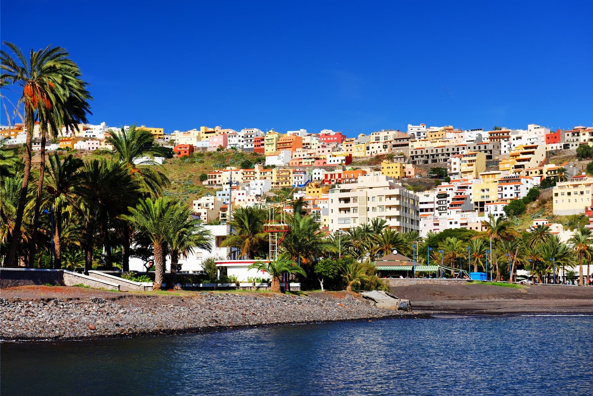
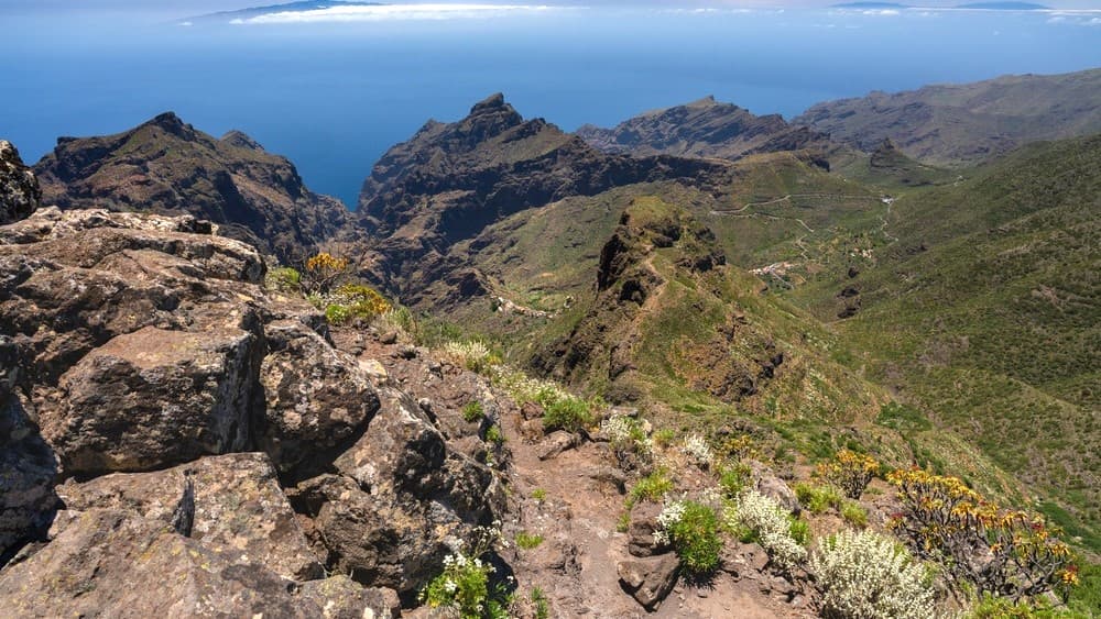
La Gomera fits within a circle 25 kilometres in diameter, yet its ravines (the barrancos) carve the island into isolated quarters that long communicated only on foot, or by whistled voice. The silbo gomero, a whistled language passed down since the pre-Hispanic era of the Guanches, carries over two kilometres from ridge to ridge. It is now taught in the island's public schools and has been inscribed on UNESCO's intangible cultural heritage list since 2009. At its centre, Garajonay National Park protects a laurel forest, made up of laurels and tree heathers, inherited from the Tertiary period, nourished by sea clouds with moisture nearly every day. In San Sebastián de La Gomera, the ferry arrival port, it was from this bay that Christopher Columbus departed in 1492 for his first voyage. The villages of Agulo, perched 250 metres above the north coast, or Valle Gran Rey, a steep valley in the south-west known for its palm groves and miel de palma (palm sap syrup reduced over wood fire), give a good sense of the internal contrasts.
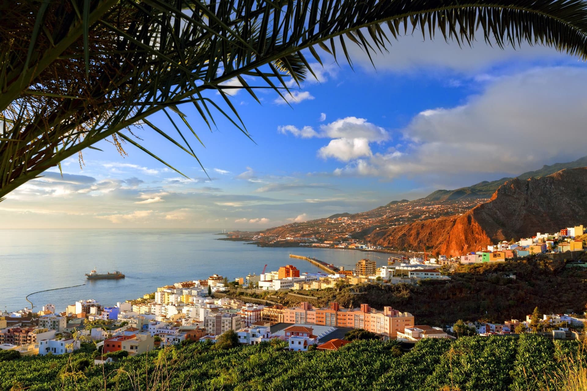
La Palma, larger (708 km²) and higher, is also geologically younger. The eruption of Tajogaite, on the western flank of Cumbre Vieja, lasted 85 days between September and December 2021 and covered 1,200 hectares in the Los Llanos de Aridane area. The lava flows are now accessible by marked trails from Las Manchas. In the north of the island, the Caldera de Taburiente forms an erosion cirque eight kilometres in diameter, bordered by walls exceeding 2,000 metres. Its complete crossing, from the Los Brecitos viewpoint to Puerto de Tazacorte beach, takes two days with camping allowed at Taburiente campground. Santa Cruz de La Palma, the capital, retains 16th-century colonial architecture, with wooden balconies along Calle O'Daly and its listed parish church.
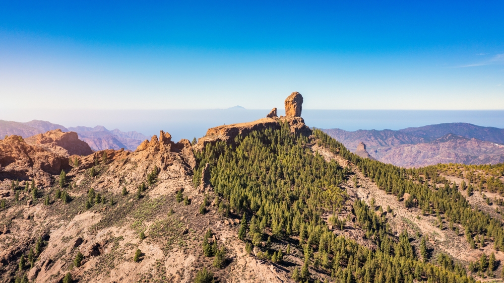
La Palma's sky has been protected by legislation against light pollution since 1988, the first law of its kind in the world. The Roque de los Muchachos observatory, above the sea of clouds, houses the Gran Telescopio Canarias, the largest optical telescope in service. Our agency works with accredited Starlight guides for observation evenings, generally starting from 1,800 metres altitude, where dry air and the absence of urban halo give a limiting magnitude of 21.7.
The economy of these two islands remains dominated by agriculture (export bananas on La Palma's west coast, Malvasia vines in the Fuencaliente area, artisanal fishing at La Restina on La Gomera) and tourism essentially centred on hiking. The density of marked trails reaches one kilometre per square kilometre on La Palma, the densest network in the archipelago. The GR 131, which crosses the island from south to north over 71 kilometres, takes four to five days and passes through all the island's ecosystems, from the dry lava landscape of Fuencaliente to the Canary pine forests around Refugio del Pilar.
On the culinary side, mojo verde (coriander and garlic sauce) accompanies papas arrugadas, and queso palmero, goat's cheese smoked with pine wood and prickly pear, has held Protected Designation of Origin status since 2002. On La Gomera, potaje de berros (watercress soup) and almogrote (aged cheese and pepper paste) remain the most prominent culinary markers in the guachinches, those seasonal taverns serving house wine.
To discover
Garajonay Forest, La Gomera. A 3 to 5-hour hike on the Las Creces or El Cedro trails, through a mist-shrouded laurel forest where tree trunks are moss-covered up to ten metres high. Constant temperature around 15°C even in summer.
Crossing the Caldera de Taburiente. A two-day, 25-kilometre descent from Los Brecitos to Puerto de Tazacorte, passing through the Río Taburiente ford and camping at the foot of a waterfall coloured by iron oxides.
Stargazing at Roque de los Muchachos. An evening at 2,400 metres with a Starlight guide, sky among the darkest measured on the planet, exterior visit to the Gran Telescopio Canarias and its 10.4-metre mirror.
Tajogaite lava flows, La Palma. Marked trail on the volcano that erupted in late 2021, around Las Manchas and El Paraíso, where lava still warm underground emits fumaroles on certain sections.
Silbo gomero demonstration in Agulo. An exchange with a certified silbador in a village in northern La Gomera, where the whistled language carried messages from one barranco to another before telephones arrived in the 1970s.
When to go
The best window for these two islands spans March to June, then September to November. Temperatures remain between 18 and 24°C on the coasts, dropping to 8–12°C at altitude above 1,500 metres. Summer (July–August) is practicable, but African continental heatwaves, the calima, can push temperatures to 35°C for three or four days in a row, with dust haze reducing visibility from the viewpoints at Roque de los Muchachos or Mirador de Abrante.
Winter, from December to February, concentrates most precipitation, especially on northern slopes. La Gomera then receives the sea of clouds nearly continuously over Garajonay, making the forest particularly photogenic, but potentially closing some high-altitude trails. On La Palma, snowfall sometimes blocks the LP-4 road to the Roque for 24 to 48 hours in January or February. The west coasts (Valle Gran Rey, Puerto Naos) remain the driest and sunniest year-round, with approximately 300 days without significant rainfall.
Practical advice
We recommend a minimum of four nights on La Palma and three nights on La Gomera to avoid reducing these islands to a cursory visit. La Gomera is reached in 50 minutes by ferry from Los Cristianos (south Tenerife), with four to five daily sailings. La Palma has its own airport at Mazo, with domestic flights from Tenerife North (35 minutes) and Gran Canaria, plus a few seasonal direct connections from Madrid and certain European cities. The logical combination is to chain Tenerife (north and Teide), then La Gomera, then La Palma, over 12 to 15 days. Adding El Hierro makes sense for travellers willing to spend three weeks on the western archipelago.
Accommodation consists mainly of casas rurales (restored old farm houses), small family hotels in San Sebastián or Santa Cruz de La Palma, and a few more comfortable options around Los Llanos de Aridane and Hermigua. No large resorts, no all-inclusives. These two islands suit independent hikers, families with teenagers capable of walking three to six hours a day, astronomy enthusiasts and contemplatives who accept a pace of two to three activities per day, punctuated by breaks in the guachinches and viewpoints. A rental car is essential; public transport remains sparse outside the two capitals.