Lanzarote and Fuerteventura
Two arid islands 100 km off the Saharan coast, shaped by the volcanism of 1730 and the vision of César Manrique, fringed by 150 km of pristine beaches on Fuerteventura.
Lanzarote and Fuerteventura form the eastern block of the archipelago, positioned 100 kilometres off the coast of western Sahara. This African proximity is felt everywhere: dry air, constant easterly winds (the calima sometimes fills the sky with Saharan dust), mineral landscapes where fresh water is a precious resource. Both islands operate almost entirely on desalinated water, and agriculture is practised on volcanic soils using techniques inherited from the eighteenth and nineteenth centuries.
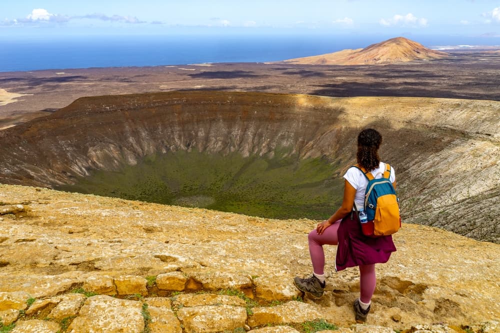
Lanzarote bears the mark of the eruptions from 1730 to 1736, six years during which over a hundred volcanoes covered nearly a quarter of the island with lava flows. The result can be visited today in Timanfaya National Park, where ground temperatures still exceed 100°C just a few metres below the surface (guards demonstrate this by pouring water down a tube pushed into the earth; the geyser is instant). Nearby, the La Geria wine region has invented a unique method: each malvasia vine grows in a crater dug into the ash, protected by a semi-circular dry-stone wall against the trade winds. You can lunch at El Grifo, the oldest bodega in the Canaries (1775).
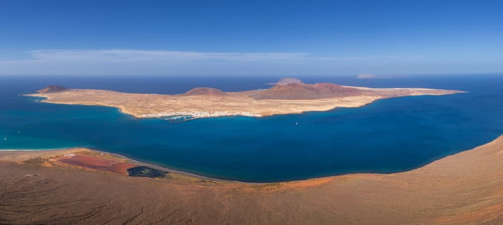
The other signature of Lanzarote is César Manrique. The artist, who died in 1992, negotiated with local authorities an architectural code that forbids tall buildings and imposes white and green (or blue on the coast). His interventions structure the visit: the Jameos del Agua, a lava tunnel converted into an auditorium with an underground lake inhabited by an endemic albino crab; the Mirador del Río, carved into the northern cliff 475 metres above the Chinijo archipelago; his own home-foundation at Tahíche, built within five volcanic bubbles. This ensemble makes Lanzarote a rare case: an entire island conceived as a coherent aesthetic project.
Fuerteventura plays a different tune. Geologically older (the first emergences date back 20 million years), it has been smoothed by erosion into low plateaux, grassy plains and long sandy coasts. The island stretches 150 kilometres of beaches, from the dunes of Corralejo in the north to the wild expanses of Cofete in the south, separated from roads by the Jandía mountain range. Cofete remains accessible only via 20 kilometres of track from Morro Jable, which filters visitors: you'll find a 12-kilometre beach backed by 800-metre cliffs, and a hamlet of a dozen houses.
The traditional economy rested on majorera goats, whose milk produces queso majorero, a PDO cheese rubbed with paprika or gofio oil. Gofio, incidentally—roasted cereal flour (wheat, corn, barley)—remains a cultural marker common to both islands: eaten as porridge mixed with milk, or kneaded into balls to accompany stews. On the dining front, sancocho canario (dried salted fish, black Canary potatoes, red or green mojo) appears on most menus in Teguise, Haría and Betancuria restaurants.
The rhythm of the two islands differs. Lanzarote concentrates cultural and geological visits across 845 km², with short distances (Arrecife to Órzola, 35 km). Fuerteventura, larger (1,660 km²), requires more driving between points of interest: allow 1.5 hours from Corralejo to Morro Jable. The fast ferry from Naviera Armas or Fred Olsen connects Playa Blanca to Corralejo in 30 minutes, multiple sailings daily, making it easy to move between the two without changing airports.
Must-see
Timanfaya and the Montañas del Fuego. Coach tour through the national park along the volcanic route, with geothermal heat demonstrations at Islote de Hilario. The El Diablo restaurant, designed by Manrique, grills meats over a fire fed by the ground's heat.
Cofete, isolated beach in southern Fuerteventura. 20 kilometres of track from Morro Jable lead to this 12 km bay dominated by the Jandía mountain range. No facilities, strong currents, ochre cliffs. Four hours is enough for a round trip in a 4x4.
La Geria and its crater vineyards. Unique agricultural landscape where each vine grows at the bottom of a hole dug in black ash. Taste volcanic malvasia at El Grifo (1775) or Bodegas Rubicón, on the LZ-30 road between Uga and San Bartolomé.
The Jameos del Agua by César Manrique. A 6-kilometre lava tunnel converted into a cultural space, with an underground lake harbouring an endemic blind albino crab (Munidopsis polymorpha). Concerts in the naturally acoustically remarkable auditorium.
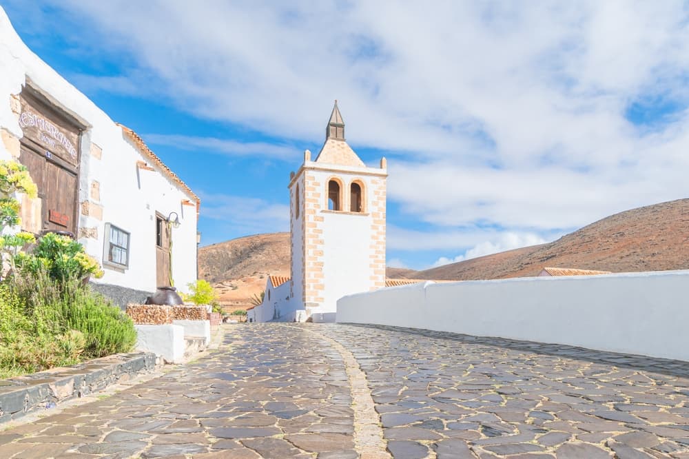
Betancuria, former capital of Fuerteventura. Village founded in 1404 by Norman conquerors, nestled in an interior valley to escape Berber raids. The Santa María church, majorero cheese workshop, and the scenic FV-30 road leading there via the Mirador de Morro Velosa.
When to go
The climate on both islands is dry and stable year-round, with moderate temperature swings: average 18–21°C in January–February, 24–28°C in July–August. Annual rainfall peaks at 150 mm on Lanzarote and 100 mm on Fuerteventura, concentrated between November and February as brief showers. The best period for combining hiking and beach time runs from March to June, then September to November: mild temperatures, gentler winds, sea water at 20–22°C.
July and August remain pleasant but the wind (trade winds blow hard on the north-east coasts of Fuerteventura, particularly at Corralejo and El Cotillo) can hamper swimming. It's conversely peak season for windsurfing and kitesurfing at Sotavento. The phenomenon to anticipate is the calima: 2 to 5 episodes per year, hot winds laden with Saharan dust, temperatures rising to 35–40°C for 2 to 4 days, reduced visibility. Unpredictable but brief. December to February suit travellers seeking winter warmth (rarely below 15°C at night), with sea water still at 19°C.
Practical advice
We recommend a minimum of 6 days to visit both islands properly, namely 3 days per island plus half a day for transfer. Lanzarote is best explored from Arrecife or Puerto del Carmen, short distances but high density of cultural stops (Timanfaya, La Geria, Haría, Manrique's works). Fuerteventura involves more driving and suits a stay split between the north (Corralejo, Lobos, El Cotillo) and the Jandía peninsula in the south. Both islands have their own international airport, but the Playa Blanca–Corralejo ferry (30 minutes, 6 to 8 daily sailings) lets you arrive on one and leave from the other.
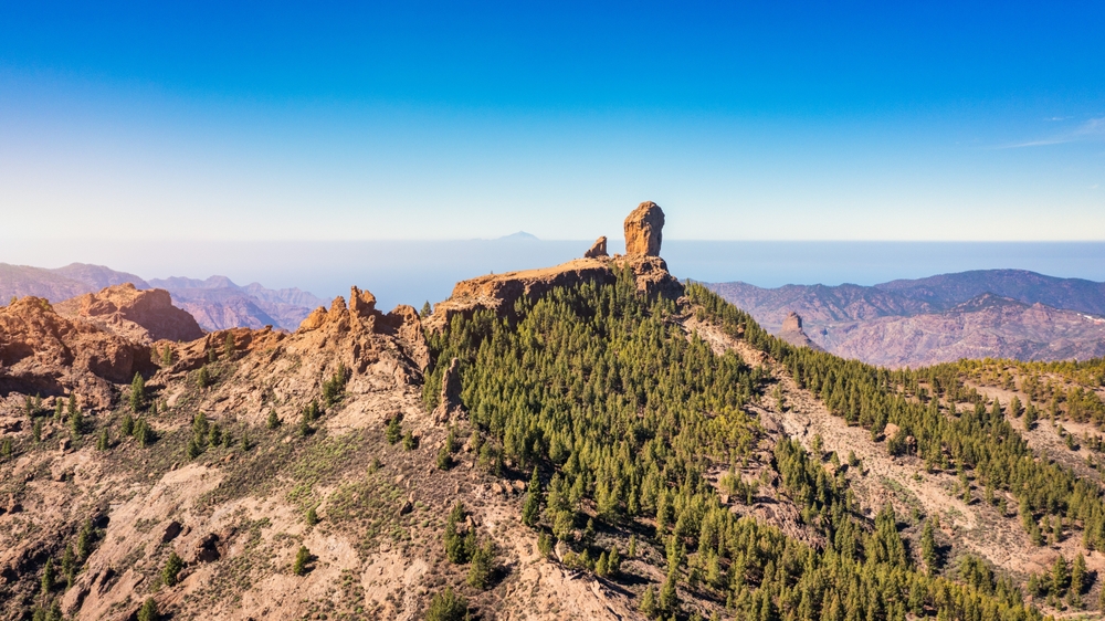
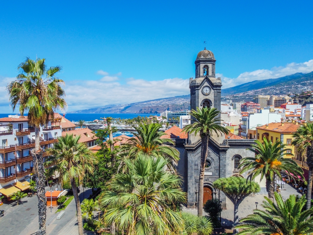
Car rental is essential: no railway network, limited buses. Roads in excellent condition, except for tracks to Cofete and the Faro de la Entallada which require a 4x4. Accommodation comfort ranges from renovated rural fincas in Lanzarote's interior to beach resorts at Costa Calma. This combination suits contemplatives (Manrique, volcanic landscapes, quiet dinners), families with children (shallow beaches at Corralejo, Costa Teguise water park), wind enthusiasts (kitesurfing at Sotavento, surfing at El Cotillo) and geology-curious hikers. To extend your trip, Gran Canaria can be reached in 1 hour by plane or 3.5 hours by ferry from Las Palmas, and Tenerife in 45 minutes by flight. La Gomera, La Palma and El Hierro are better chained together from Tenerife.