Complete guide to the Canaries
Perched off the Sahara yet caressed by the trade winds, the Canaries form a volcanic archipelago of eight inhabited islands where each ridge tells the story of an eruption. From our Tenerife office, we see travellers pass through who thought they knew the destination for its beaches, only to leave marked by Mount Teide at 3,715 metres, the laurel forests of La Gomera, or the black lava flows of Timanfaya on Lanzarote.
Four territories structure most of our itineraries. Tenerife for its diversity, from the humid north of Anaga to the cliffs of Los Gigantes. Gran Canaria, nicknamed the miniature continent, for its Maspalomas dunes and hilltop villages like Tejeda. Lanzarote and Fuerteventura for desert landscapes shaped by César Manrique and the wind. La Palma, La Gomera and El Hierro for hikers seeking uncrowded trails beneath Canary pines.
Two particularities structure a trip here. First, the climate: 20 to 25°C in winter on the southern coasts, but 0°C possible at the summit of Teide in February. Second, the inter-island logic: fast ferry between Tenerife, La Gomera and La Palma, short flights elsewhere, a car essential on the ground. For a first stay, we recommend combining two islands over 8 to 10 days rather than skimming across four. The Canary pace is better understood this way.
The regions of Canary Islands
Each region has its own personality: climate, landscapes, pace of life and ways of traveling. Our local team helps you choose the combination that suits you.
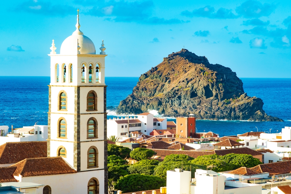
Tenerife
The largest island concentrates the most contrasting features the archipelago has to offer. At its center, the Teide National Park, UNESCO-listed, unfolds its lunar calderas between 2,000 and 3,715 meters. To the north, the Anaga massif and its ridges covered in laurel forest remain humid year-round, with villages like Taganana where you can lunch facing the Atlantic. To the south, Los Gigantes and its cliffs of 600 meters plunge sheer into the ocean, a playground for dolphins and pilot whales. Allow 4 to 5 days minimum to traverse these different landscapes at a leisurely pace, with La Orotava valley as an ideal base.
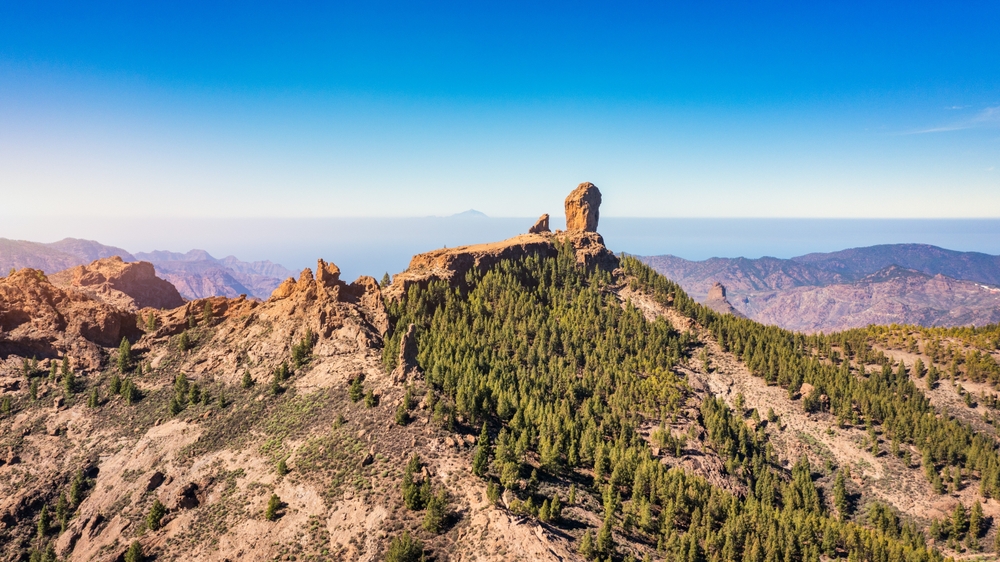
Gran Canaria
It is described as a miniature continent, and crossing from the verdant north to the arid south in 50 kilometres confirms it. The mountainous centre peaks at Roque Nublo at 1,813 metres, a sacred monolith of the ancient Guanche people. The white villages of Tejeda and Artenara cling to the ridges, an hour's drive from the Maspalomas dunes. Las Palmas, the capital, deserves a day for its Vegueta district and the Las Canteras urban beach. Pleasant climate year-round on the south coast, cooler and cloudier in the north, with a 5 to 8°C difference depending on the slopes.
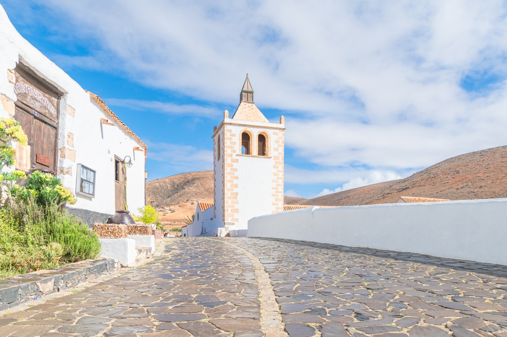
Lanzarote and Fuerteventura
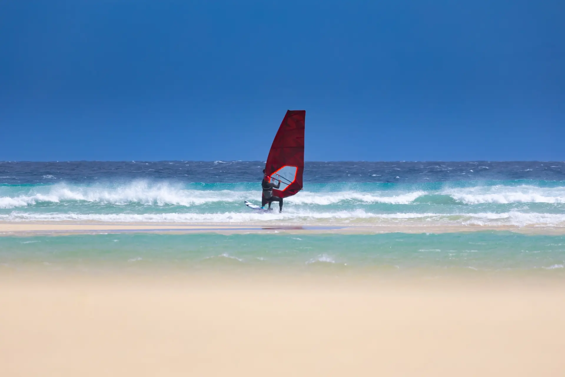
The two eastern islands share a dry climate, desert landscapes and proximity to the Sahara, just 100 kilometres away. Lanzarote was shaped by the eruption from 1730 to 1736 that covered a quarter of the island in lava, now Timanfaya national park. Artist César Manrique's imprint is found everywhere, from Jameos del Agua to Mirador del Río. Fuerteventura, more understated, stretches 150 kilometres of pristine beaches between Cofete and Corralejo, a haven for surfers and wind enthusiasts. Allow 3 days per island, with a fast ferry between Playa Blanca and Corralejo in 30 minutes.
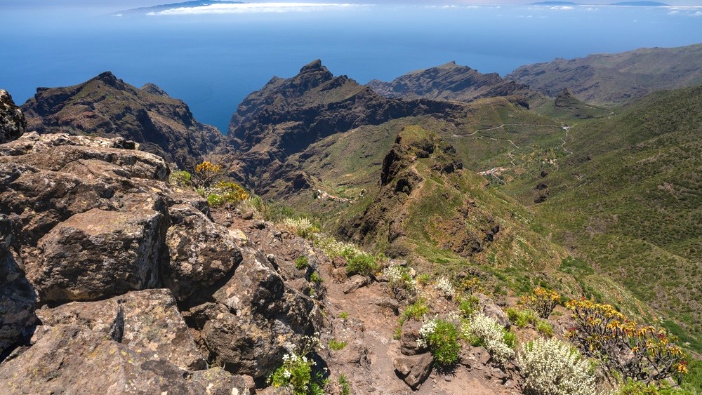
La Gomera and La Palma
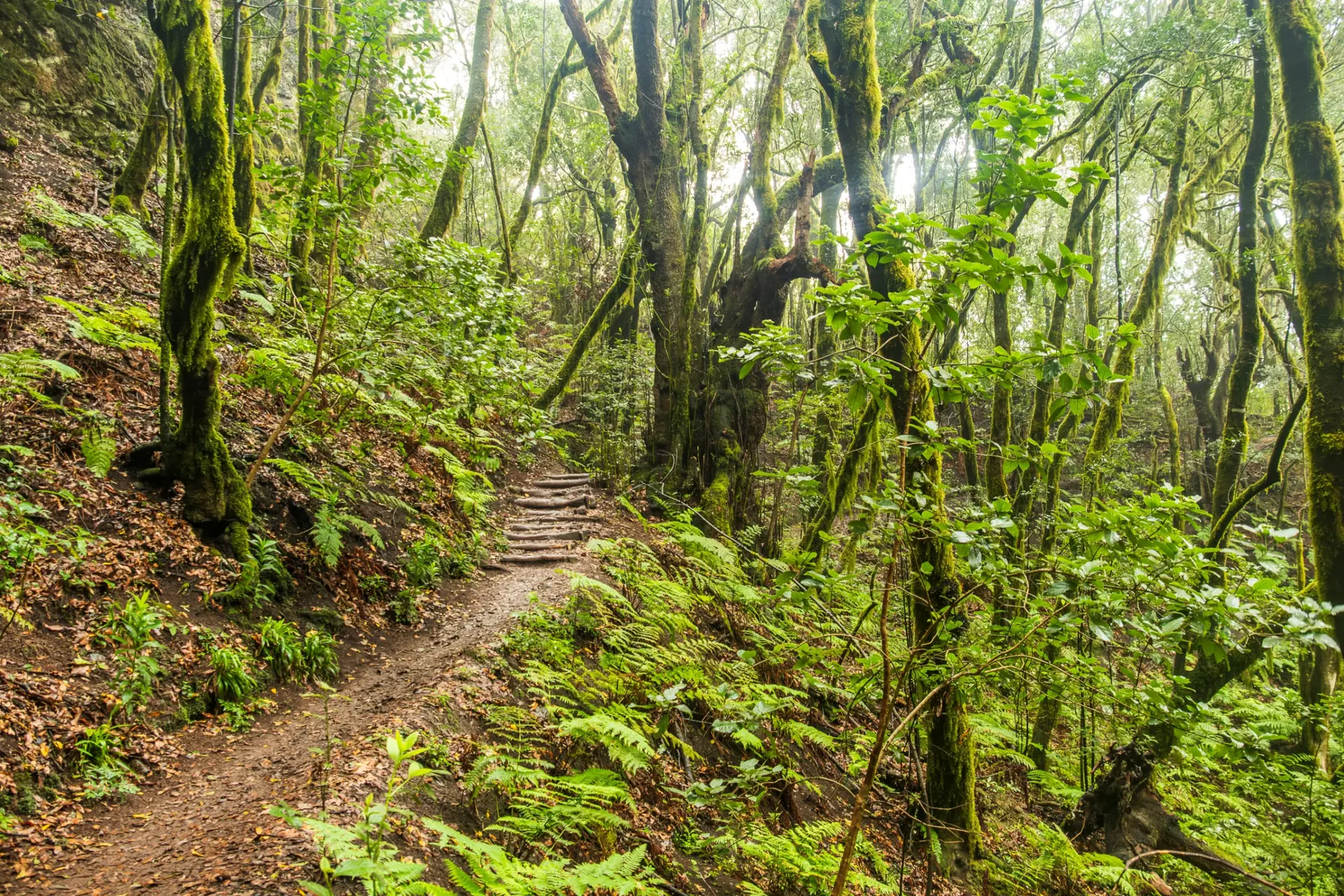
The western islands cater to hikers and those seeking tranquility. La Gomera, accessible by ferry in 50 minutes from Los Cristianos, is home to the Garajonay primeval forest, a UNESCO World Heritage site, where mist has nurtured laurel trees since the Tertiary period. The silbo gomero, a whistled language still practiced ridge to ridge, can still be heard there. La Palma, nicknamed the Isla Bonita, boasts the highest density of hiking trails in the Canaries, including the crossing of the Caldera de Taburiente. It offers some of the clearest skies in the world, with the Roque de los Muchachos observatory at 2,426 meters.
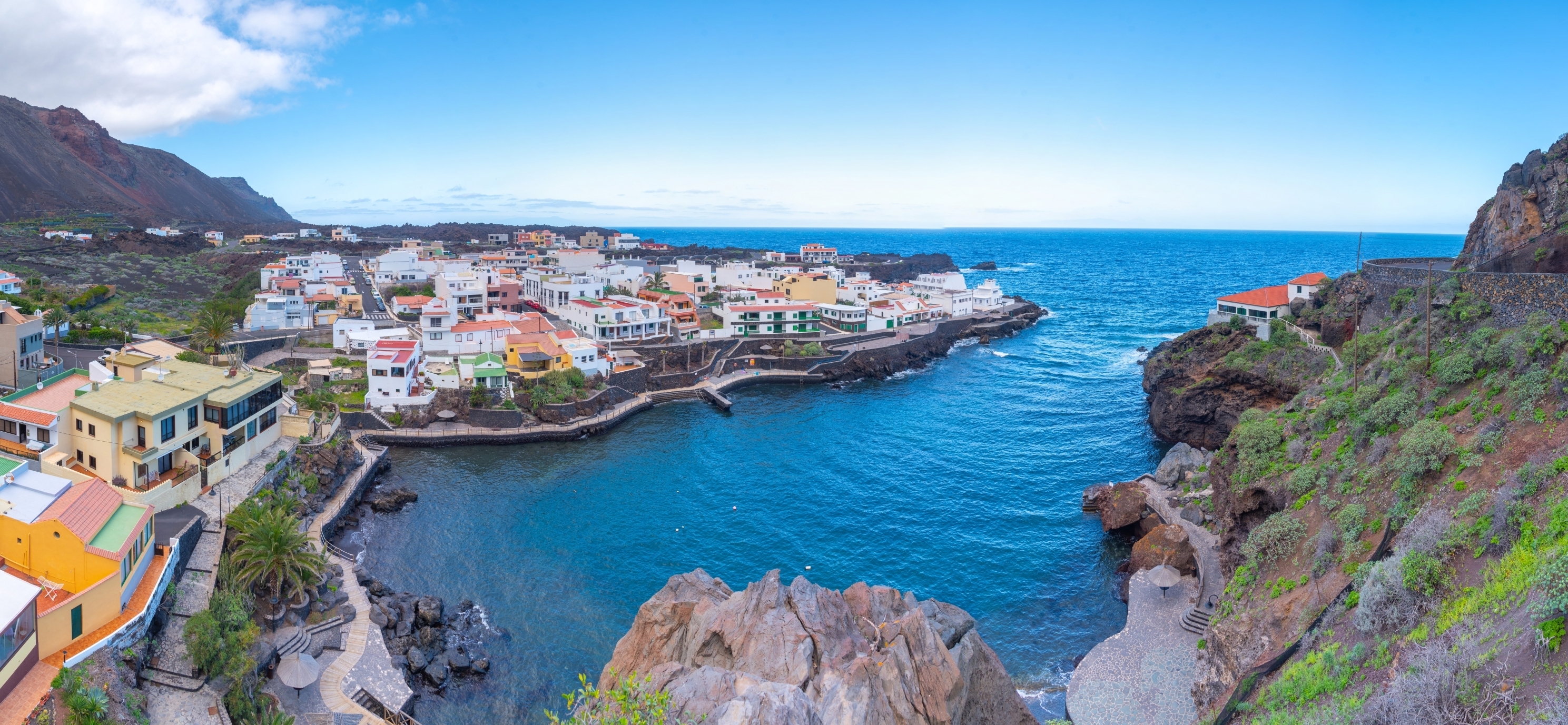
El Hierro
The smallest and most discreet of the inhabited islands, long considered the edge of the known world. An integral biosphere reserve since 2000, it aims for energy autonomy with its northern windmills and the Gorona del Viento hydroelectric plant. Divers find some of the clearest waters in the Atlantic around La Restinga, with groupers and rays at 15 meters. Hikers can follow the Camino de la Virgen, an ancient pilgrimage trail that crosses the island from north to south. Plan for 3 days to grasp its spirit; car rental is essential.
Explore by theme
Unique experiences tailored to every traveler.
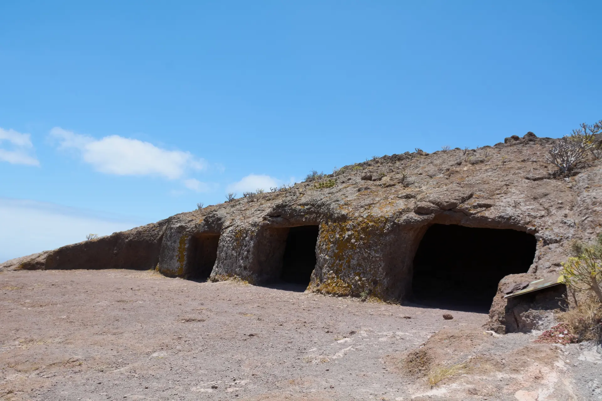
Culture & Heritage
Temples, musées, sites historiques
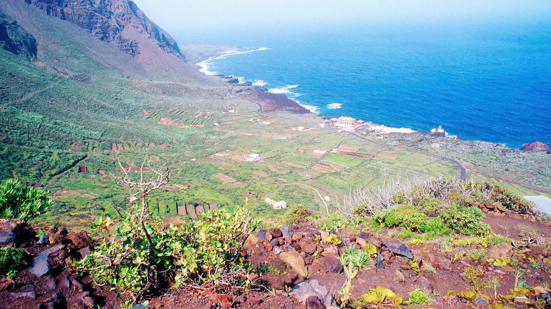
Nature & Landscapes
Parcs nationaux, montagnes, forêts
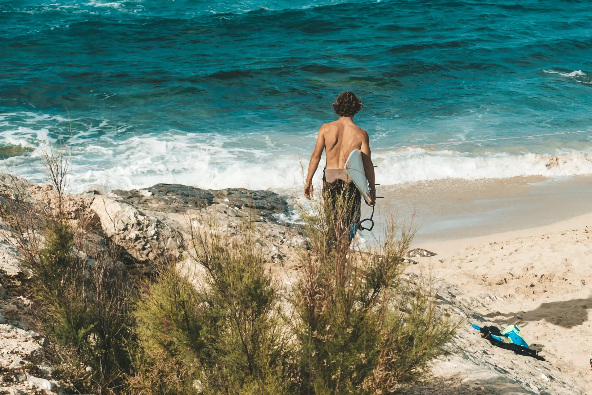
Sea & Beaches
Littoral, îles, sports nautiques
Wildlife & Biodiversity
Observation animale, sanctuaires, réserves
Activities & Adventure
Trek, kayak, escalade, sports outdoor
Gastronomy
Cuisine locale, marchés, cours de cuisine
We use cookies to improve your experience and measure our site's audience. You can choose what you accept. Learn more.