Anaga Massif
Anaga Massif
In north-east Tenerife, Anaga Massif concentrates UNESCO-listed laurel forest, marked trails and isolated villages across 1,500 hectares of rural park.
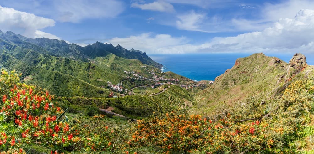
Anaga Massif occupies the north-eastern tip of Tenerife and peaks at 1,024 metres at Cruz de Taborno. Designated a UNESCO biosphere reserve in June 2015, it shelters one of Europe's last laurel forests and more than 800 endemic species. Its 1,500 hectares of rural park contain around twenty marked trails, ranging from short family loops to challenging coastal crossings.
Why visit Anaga Massif
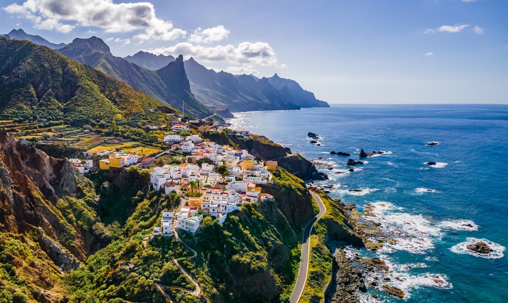
Anaga contrasts sharply with Tenerife's touristy south. The landscape is ancient, deeply eroded, carved by profound barrancos and volcanic dykes that cut across the ridges. The laurel forest, a tertiary-era relic more than 40 million years old, blankets the wind-facing slopes and remains regularly shrouded in characteristic low mist. The isolated villages (Taganana, Chinamada, Chamorga, Afur, Benijo) preserve rural architecture and a way of life distinct from the rest of the island.
For hikers, it ranks among the Canaries' most trail-dense terrain. For nature lovers, it's a rare concentration of endemic species in Europe.
History and protected status
Anaga Massif (macizo de Anaga) is one of Tenerife's oldest landforms. It was designated a UNESCO biosphere reserve in June 2015, in recognition of its laurel forest's richness and the persistence of a rural population within the park.
Local legend places El Bailadero, at the heart of the massif, as an ancient gathering place for witches—the frequent fog and tortuous terrain having nourished this folklore. The place name remains attached to a mountain pass crossed today by the road descending to Taganana.
What to see and do
The laurel forest
Laurel forest once covered parts of the Atlantic seaboard and Mediterranean basin before retreating through climate change. At Anaga, it has persisted thanks to moisture brought by the trade winds. Tree trunks are wrapped in mosses and lichens, and certain sites like El Bosque Encantado (El Pijaral, access regulated) offer a very dense glimpse of this ecosystem. The Sendero de los Sentidos trail, short at 1.3 km, provides an educational reading of this forest from the Cruz del Carmen visitor centre.
Endemic fauna and flora
The rural park records over 800 fauna and flora species, with a significant proportion endemic to the Canaries. On the plant side, you'll find Canary spurge, Phoenician juniper and dragon tree. For fauna, the Tenerife lizard (Gallotia galloti) is common, and around a hundred invertebrates have been recorded on the massif. Birdlife is equally diverse, the site being visited annually by numerous bird species, including several migrants.
Hiking itineraries
The Cruz del Carmen visitor centre is the logical starting point for choosing your trail and checking conditions. A few representative routes:
- Sendero de los Sentidos – 1.3 km, easy, ideal for a first visit.
- Benijo – El Draguillo (Camino del Hediondo) – 5 km return, moderate.
- Monte Aguirre – Pico del Inglès – 7 km return, moderate.
- Las Vueltas de Taganana – 8 km return, moderate.
- Punta del Hidalgo – Chinamada – 9 km return, moderate.
- Afur – Playa de Tamadite – El Chorro – 12 km return, challenging.
- Cruz del Carmen – Chinamada – Mirador de Aguaide – 13 km return, challenging.
- El Bosque Encantado / El Pijaral – approximately 3 hours, intermediate (access requires authorization).
- Chamorga – Roque Bermejo – approximately 4 hours, strenuous.
Beyond walking, the park suits mountain biking on certain tracks, horse trekking, and the northern coast (Benijo, Taganana, Almáciga) offers black-sand beaches and natural pools at low tide.
Practical information
The Cruz del Carmen visitor centre provides maps, trail conditions and information on regulated access zones (notably El Pijaral, which requires a free permit available online). Bring good hiking shoes, plenty of water, and a warm or waterproof layer: it's often cool and humid on the ridges, even when the south of the island is sunny. Allow 2 hours for a short loop up to a full day for coastal crossings.
When to visit
Anaga is worth visiting year-round. June to November is generally the most stable weather-wise, with mild temperatures and fewer high-altitude showers. Winter remains manageable but fog and showers are more frequent on north-facing slopes. Regardless of season, bring warm clothes: the temperature difference with the south coast can reach 8 to 10 °C.
How to get there
The nearest airport is Tenerife North (formerly Los Rodeos), about thirty minutes' drive away. By car:
- From San Cristóbal de La Laguna: TF-5, then TF-13 and TF-12 to Cruz del Carmen.
- From Santa Cruz de Tenerife: TF-11 (San Andrés) then TF-12 (El Bailadero).
By public transport (guaguas):
- From La Laguna: lines 076, 077, 273, 274 and 275.
- From Santa Cruz: lines 945 and 947.
The massif's roads are narrow and winding, with many bends: allow time and drive carefully.
What to see nearby
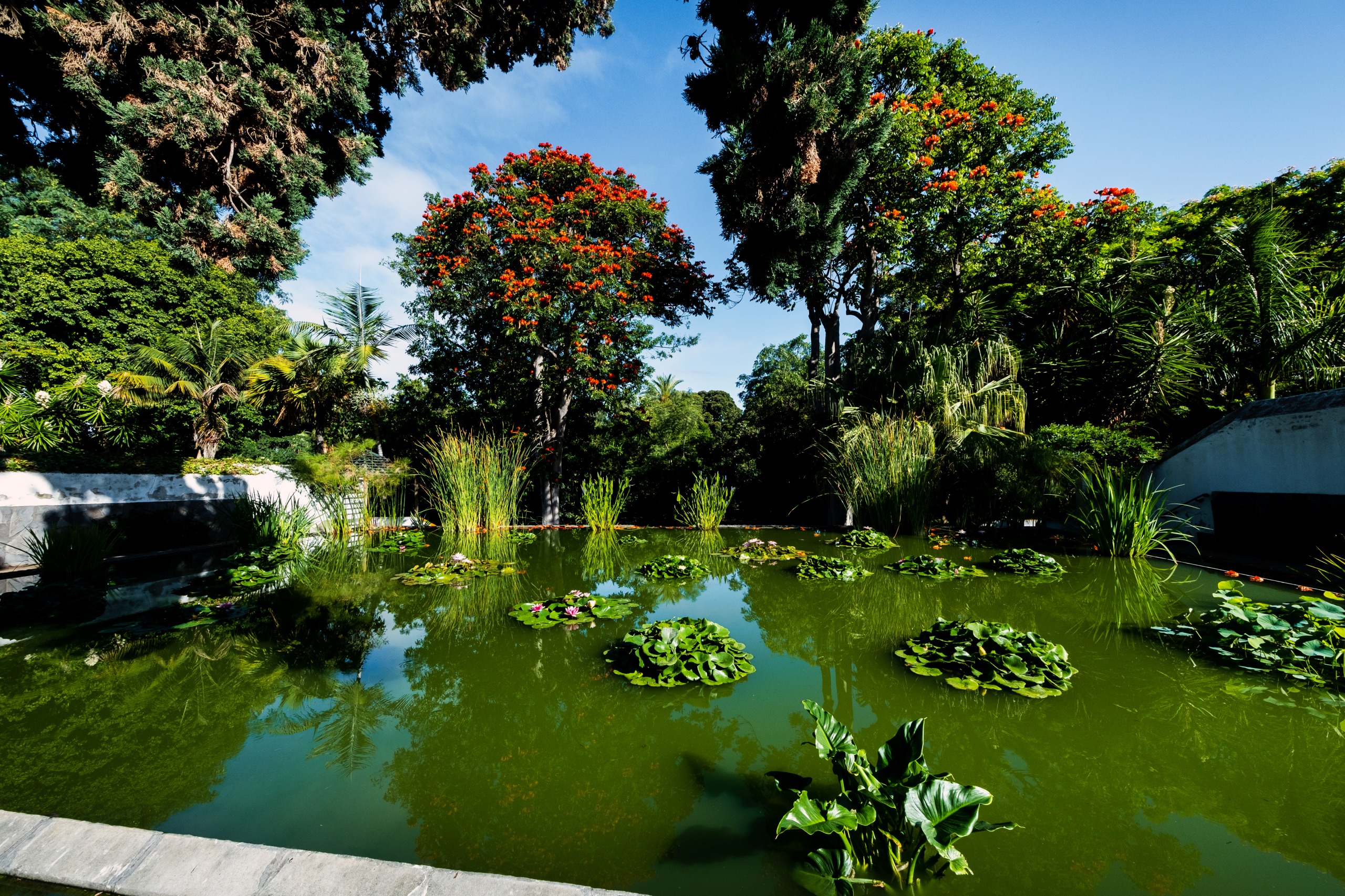
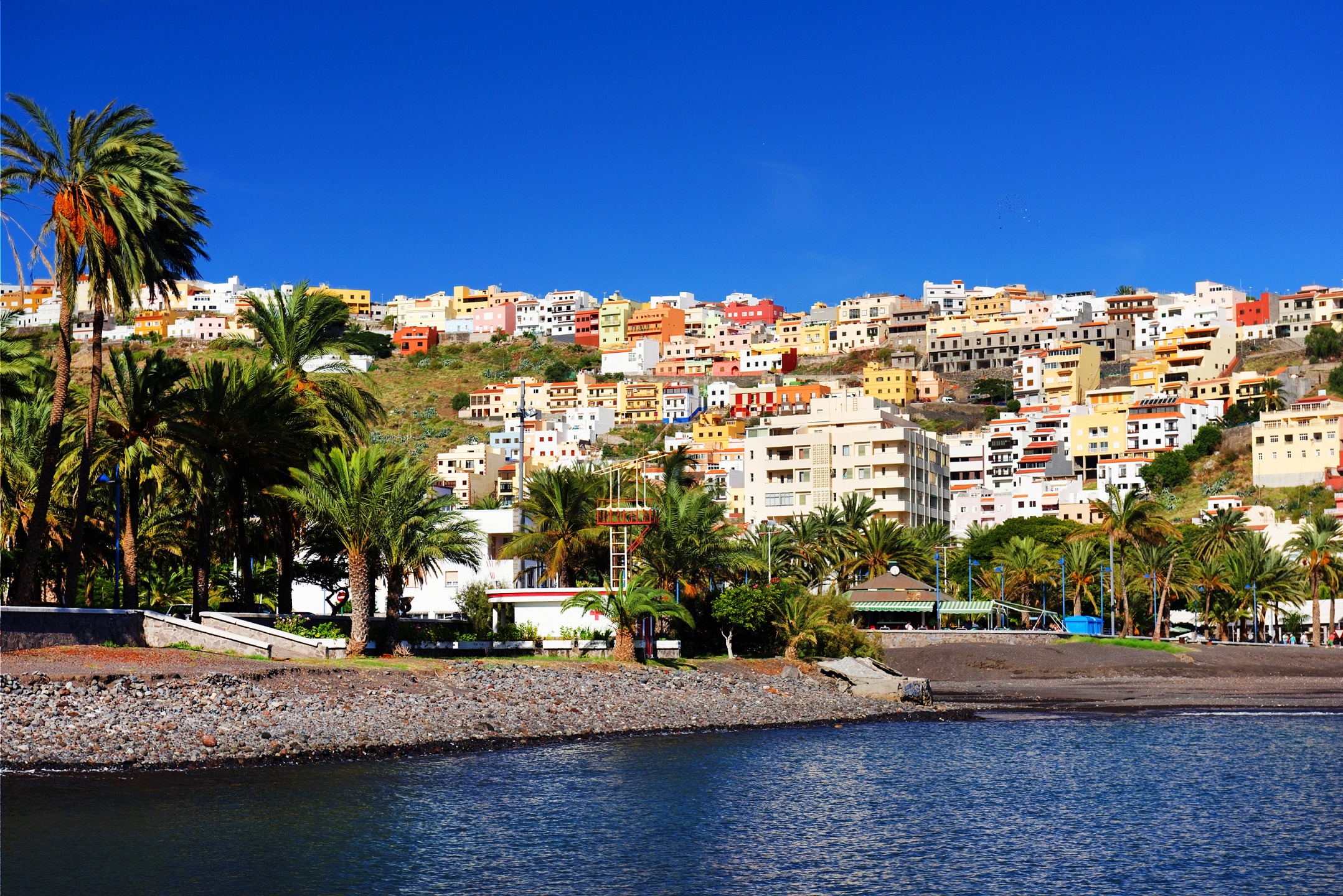
Anaga Massif fits into a broader Tenerife itinerary. Volcano enthusiasts will head on to the Teide National Park, which contrasts sharply with Anaga's dampness. For botany, the Puerto de la Cruz Botanical Garden complements the visit. On neighbouring La Gomera island, the Garajonay National Park protects comparable laurel forest, also UNESCO-listed.
Frequently asked questions
Frequently asked questions
To incorporate Anaga Massif into a wider stay in the archipelago, see our Canaries tours.
Interested in this visit?
We can include it in your personalised itinerary.