Garajonay National Park
Garajonay National Park
Garajonay national park on La Gomera, a UNESCO World Heritage site, protects a rare laurisilva forest and rises to 1,487 meters with views over four Canary Islands.
The Garajonay national park occupies the central and northern part of La Gomera, covering nearly 3,986 hectares, roughly 10% of the island. Designated a national park in 1981 and inscribed as a UNESCO World Heritage site in 1986, it protects one of the last great laurisilva forests, a remnant of the subtropical ecosystems that blanketed the Mediterranean basin millions of years ago.
Why visit Garajonay National Park
The park brings together three major attractions within a compact, easily explored territory perfect for a day visit: a humid forest rare in Europe, a summit at 1,487 meters offering views across four islands of the archipelago, and 18 marked trails suitable for all hiking levels. Visitor numbers remain modest compared to the Teide national park on neighboring Tenerife, making it a quieter hiking stop in the Canaries.
History and the legend behind the name
The park and its summit, Alto de Garajonay, take their name from a Guanche legend passed down on La Gomera. Gara, a princess of the island, and Jonay, the son of a mencey from Tenerife, meet at a celebration. A seer foretells that their union will bring great misfortune; both families oppose the marriage. The lovers flee, are caught at the island's summit, and choose to end their lives with a stick sharpened at both ends. The place name combines both their names.
Beyond the tale itself, the national park designation obtained in 1981 allowed the protection of the laurisilva to be solidified, already weakened by past logging and fires. The 1986 UNESCO inscription confirmed the site's ecological value on a global scale.
What to see in the park
Alto de Garajonay
At 1,487 meters, Alto de Garajonay is La Gomera's highest point. On clear days, the panorama extends to La Palma, El Hierro, and Tenerife, with the Teide cone visible to the east. The summit is reached via a short trail from the Pajarito parking area. The island's low light pollution makes the night sky particularly clear at altitude, except during sea cloud nights.
Laurisilva forests
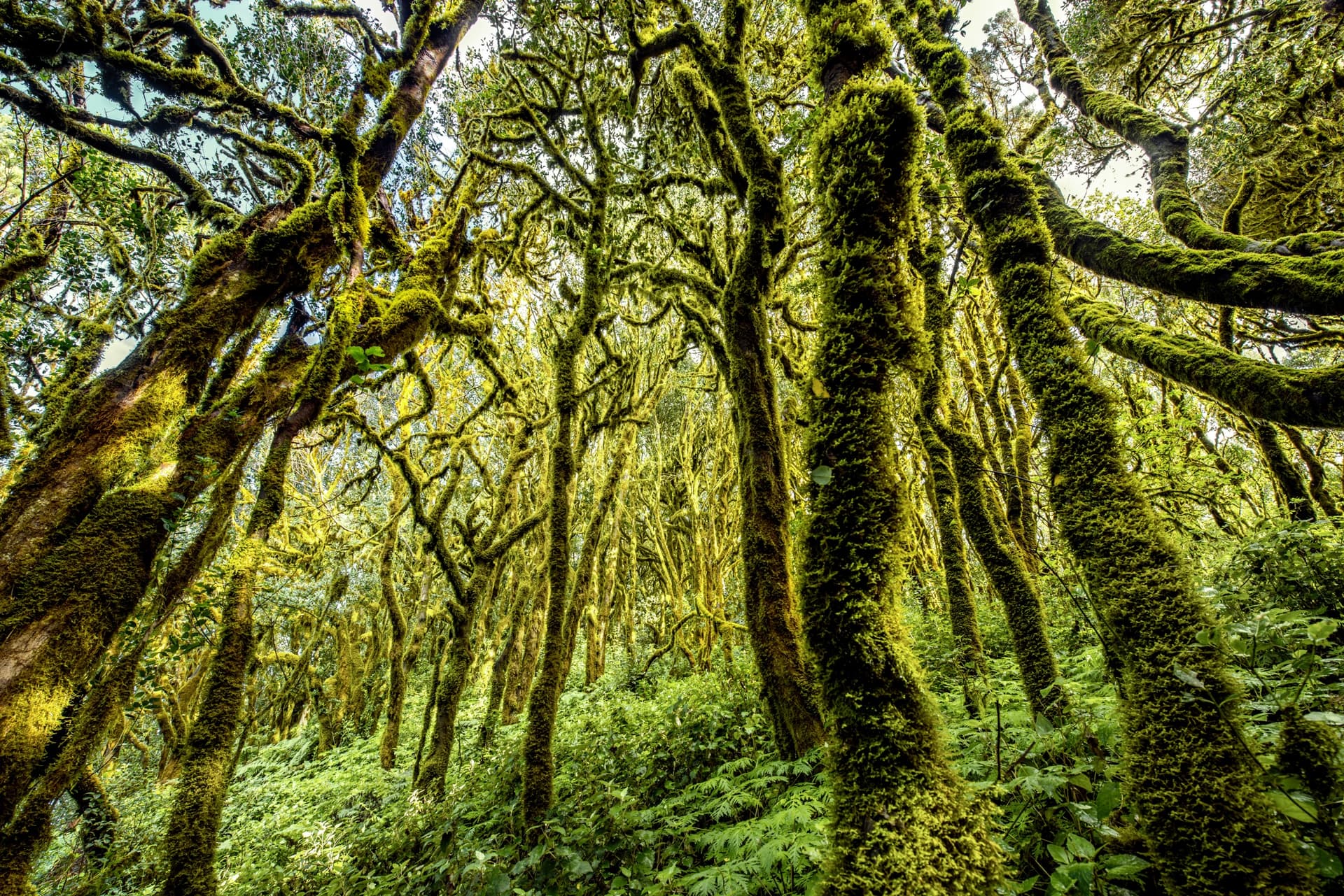
Laurisilva covers around 70% of the park. This humid subtropical forest combines laurels, ferns, mosses, and lichens, fed by trade winds that condense moisture as they encounter the slopes. For wildlife, the park is home to the wood pigeon, Canary blue tit, Canary finch, woodcock, and marsh harrier. On the ground and in rocky areas, you'll find the La Gomera lizard and the barbastelle, a forest bat species.
Los Roques and Roque de Agando
On the park's eastern flank, several volcanic peaks emerge from the vegetation: these are the Roques. Roque de Agando, the most recognizable, forms a distinctive dome clearly visible from the road crossing the park. These formations correspond to ancient volcanic conduits laid bare by erosion.
Raso de la Bruma Trail
Among the park's 18 marked itineraries, Raso de la Bruma offers a fine introduction to the laurisilva: 1.2 km, around 40 minutes, with no difficulty. The trail winds through an area regularly shrouded in altitude mist, where twisted trees and moss blankets create a hushed atmosphere. The Risquillos de Corgo viewpoint, nearby, offers a clear view over the Vallehermoso valley.
Los Chorros de Epina
Northwest of the park, between Vallehermoso and Valle Gran Rey, the Los Chorros de Epina spring feeds several spouts arranged in a line. Local tradition attributes healing properties to this water and the ability to grant wishes for love made by drinking from certain specific spouts. The stop is brief but fits well into a tour of the island's north.
Practical information
- Juego de Bolas visitor center, in the park's north, for maps and exhibitions on laurisilva
- 18 marked trails of varying difficulty, from 1 km walks to longer traverses
- Pack waterproof clothing: fog and fine rain are frequent at altitude, even when the coast is sunny
- Water and closed-toe shoes essential for hikes
- Free park access; modest fees for any guided visits
When to visit
La Gomera's climate remains mild year-round. The rainy season, brief, spans November to February. March through June brings flowering, with highly colorful landscapes on the slopes. July to September are the warmest months on the coast, but the park's heights often experience dense fog formed by trade winds; a sunny day below can mean reduced visibility at Garajonay. Spring and early autumn generally offer the best balance between temperatures, light, and chances of a clear view from the Alto.
How to get there
La Gomera is reached by ferry from Los Cristianos, in southern Tenerife: the crossing to San Sebastián de La Gomera takes around 45 minutes. La Gomera airport, near Playa de Santiago, offers connections with other archipelago islands. A rental car remains the most practical option to reach the park and connect the trails. Three bus lines serve the park's surroundings:
- Line 1: Valle Gran Rey – San Sebastián
- Line 2: Vallehermoso – San Sebastián
- Line 3: Alajeró – San Sebastián
Nearby
Once you've explored Garajonay, several sites extend the theme of nature and volcanic landscape across the archipelago:
- Teide National Park, on Tenerife, centered on Spain's highest summit
- Anaga Massif, another laurisilva zone in northeastern Tenerife
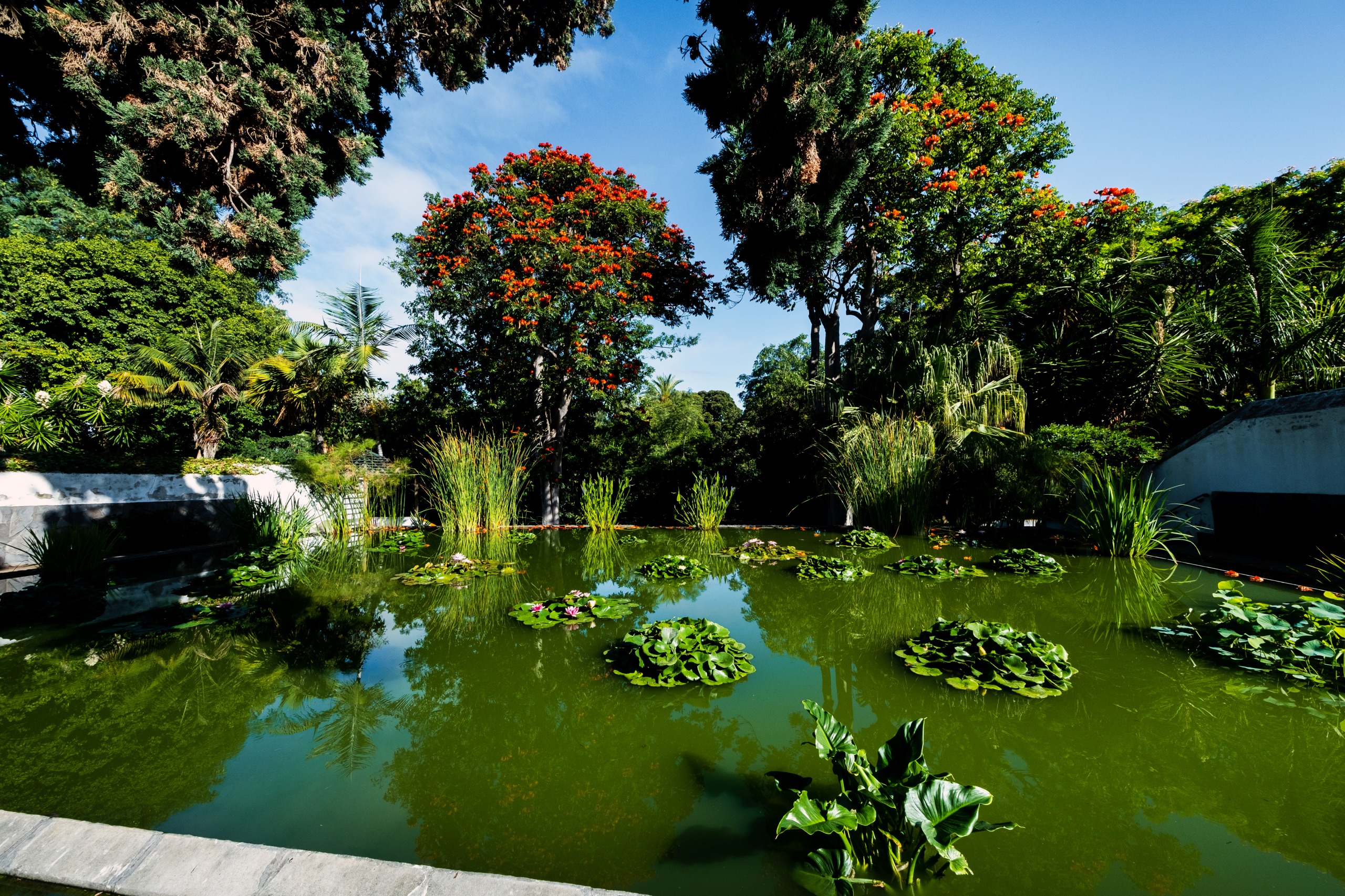
- Puerto de la Cruz Botanical Garden, a useful complement for understanding Macaronesian flora
Frequently asked questions
Frequently asked questions
Plan your trip
To incorporate Garajonay National Park into a broader itinerary across the archipelago, consult our Canary Islands trips and the guide dedicated to La Gomera.
Interested in this visit?
We can include it in your personalised itinerary.