Teide National Park
Teide National Park
A stratovolcano rising to 3,718 m in the heart of Tenerife, Teide National Park combines volcanic landscapes, endemic flora, and high-altitude trails designated UNESCO World Heritage.
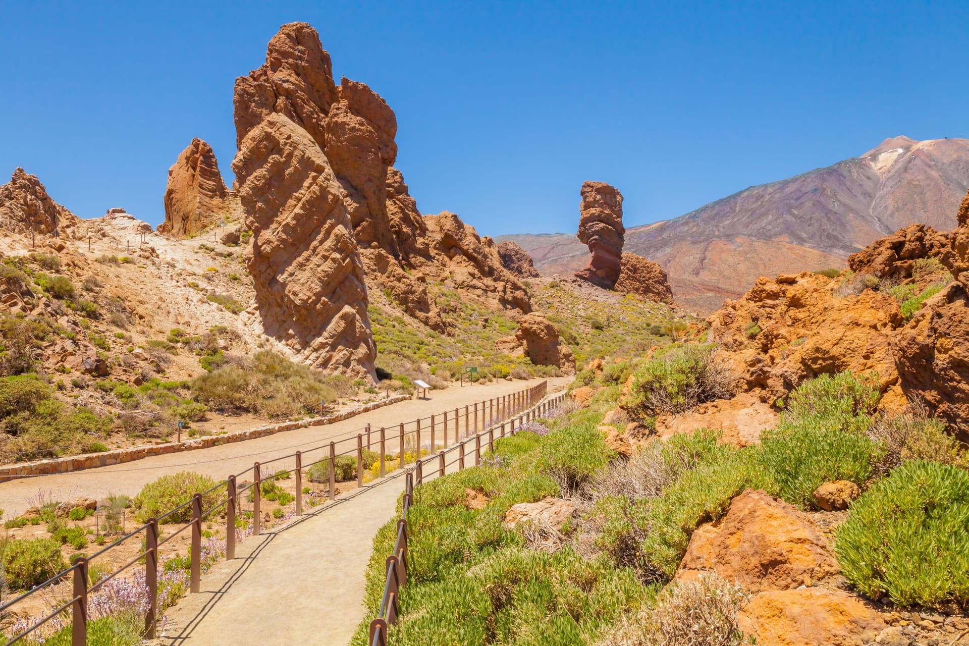
Teide National Park occupies the centre of Tenerife island, surrounding the Teide-Pico Viejo stratovolcano which peaks at 3,718 m. Spain's highest summit and the world's third-highest volcano, it forms a landscape of calderas, lava flows, and rocky pinnacles spanning nearly 19,000 hectares. Inscribed as a UNESCO World Heritage site in 2007, it is the largest park in the Canaries and one of Spain's oldest.
Why visit Teide National Park
The park brings together several compelling features within the same area: a towering volcano accessible by cable car or on foot, a caldera in ochre and black hues, and endemic flora adapted to high altitude. Teide violet grows above 2,500 m, Teide edelweiss carpets rocky slopes, and Tenerife viper's bugloss produces red flower spikes in spring that can reach 3 metres tall.
For wildlife, the kestrel and lesser grey shrike patrol open spaces, while the blue chaffinch, endemic to the island, frequents pine forests at the park's edge. Reptiles — gallotia galotti, Moorish gecko, and six-lined skink — are visible once temperatures rise on sun-exposed trails.
History and heritage
For the Guanches, Tenerife's first inhabitants, the volcano bore the name 'Echeyde', 'gateway to hell', and held a central place in their cosmology. Archaeological remains linked to these pre-Hispanic populations have been discovered on site.
National park status was ratified on 22 January 1954, making Teide one of Spain's oldest national parks. In 2007, two major recognitions followed: inscription as a UNESCO World Heritage natural property, and classification among Spain's 12 treasures.
What to see and do
The Teide cable car
This is the fastest way to reach the volcano's heights. The base station sits at 2,356 m, arrival at La Rambleta peaks at 3,555 m, and the ascent takes 8 minutes in a cabin holding up to 44 people. From La Rambleta, several short trails lead to viewpoints overlooking the caldera and coast.
Note: the cable car does not reach the summit (3,718 m). Access to the peak itself requires a specific permit, to be requested in advance.
Hiking via Montaña Blanca
Trail 7 from Montaña Blanca is the standard route to reach the summit on foot. Allow approximately 9 km and 6 to 7 hours of walking depending on pace, with significant elevation gain at high altitude. The Altavista shelter at 3,260 m allows you to split the ascent and attempt the summit at sunrise. Good physical fitness is essential.
Trails from La Rambleta
- Trail 10 — Telesforo Bravo: the only route leading directly to Teide's peak; permit required.
- Trail 11 — La Fortaleza: viewpoint with clear views over the north of the island and Orotava valley.
- Trail 12 — Pico Viejo: panorama over Pico Viejo's coloured crater, the Roques de García, and on clear days the islands of La Gomera, El Hierro and La Palma.
Trails are well-marked. Access to Teide's peak is limited to 200 people per day; permission is free and requested via reservasparquesnacionales.es, ideally one to two months in advance. If you stay at Altavista shelter, the permit is not required, but you must have left the summit by 9:00 am.
Practical information
- Duration of visit: from a few hours (cable car + viewpoints) to a full day, or even two with a night at the shelter.
- Equipment: hiking boots, windbreaker, warm layers; temperatures drop significantly with altitude.
- Altitude: possible effects from 3,000 m; ascend gradually and stay hydrated.
- Summit permit: online procedure, free, plan ahead.
When to go
At the park's base, average maximum temperatures hover around 21°C, around 18°C in February and 25°C in August. May through November generally offers the most stable conditions for hiking. In winter, the summit is regularly snow-covered: trails can be slippery and some access may be temporarily closed. At the summit, temperatures approach 0°C or lower in winter, regardless of coastal temperatures.
How to get there
The park is accessible by several roads depending on your departure point on Tenerife:
- From the south: TF-21 via Vilaflor.
- From the north: TF-21 or TF-24 from La Orotava or La Laguna.
- From the west: TF-38 via Chio, which joins the TF-21.
- From Santa Cruz or San Cristóbal de La Laguna: TF-24 then TF-21.
By car, allow 1 to 2 hours on average depending on your coastal resort of departure. Parking is available near the cable car base station, at approximately 2,300 m altitude. By public transport, two bus lines serve the area: line 348 from Puerto de la Cruz and line 342 from Los Cristianos/Costa Adeje, with a journey of approximately 2 hours.
Nearby
The park sits within a collection of remarkable natural spaces across the archipelago:
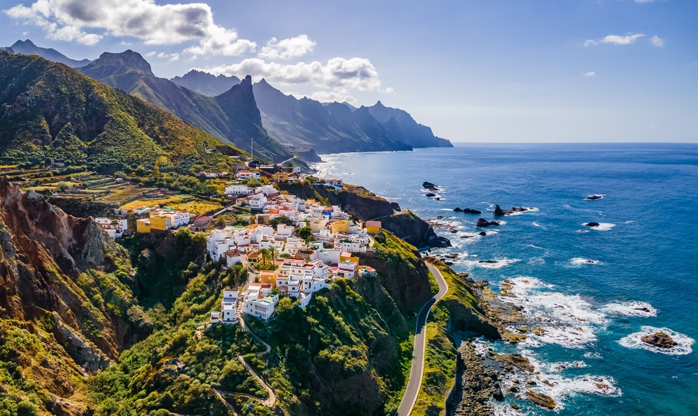
- Anaga massif: laurel forests and jagged ridges in north-east Tenerife.
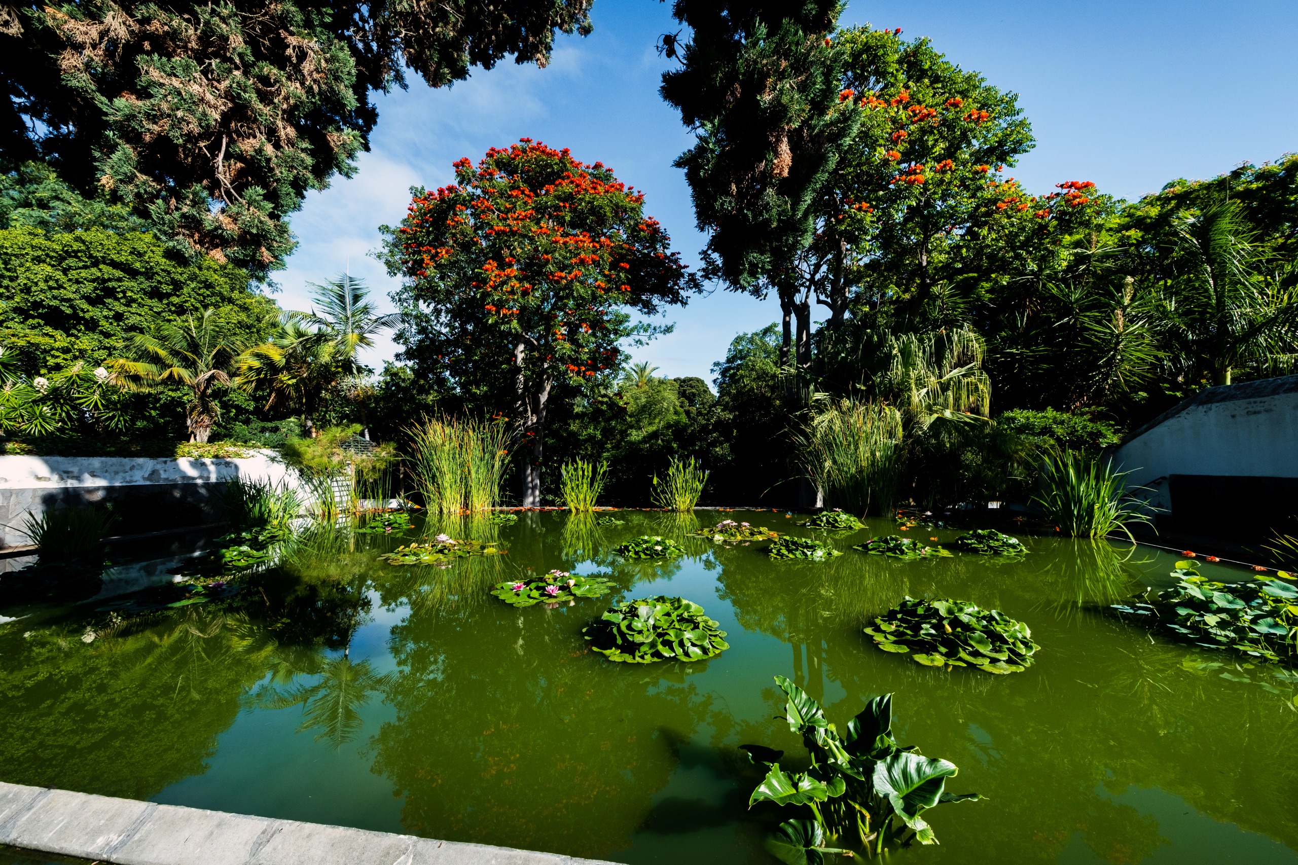
- Puerto de la Cruz botanical garden: collection of tropical plants midway between coast and park.
- Garajonay National Park: UNESCO-listed laurisilva on neighbouring island La Gomera.
- Tenerife: to plan the rest of your stay on the island.
Frequently asked questions
Frequently asked questions
Planning your trip
Teide National Park combines easily with a broader exploration of the archipelago: volcanic coastlines, laurisilvas of La Gomera, inland villages. To build a bespoke itinerary, consult our Canaries trips.
Interested in this visit?
We can include it in your personalised itinerary.